
If you hike or enjoy the mountains, I bet you have noticed tree lines. Sometimes they are called timberlines. They are the place on a mountain where trees stop growing. I became interested when I read the sign in the photo to the left. We were far up the Dalton Highway enjoying the amazing tundra. I am always looking for ideas for blog posts. I thought tree line. Sounds simple enough right? Read more to find out whether or not I was right.
Background Info: Latitude and Longitude
Remember the vocabulary words latitude and longitude? Just in case you don’t remember which is which. Latitude lines divide the earth horizontally. The latitude at the equator is 0. Latitude at a pole is either 90’ N or S. In contrast, longitude lines divide the earth vertically. The zero for longitude lines is Greenwich. They increase to 180’ east and west.

Definition of Timberline or Tree Line
Timberline or tree line is the elevation where trees don’t grow anymore. There are three types of timberlines; alpine, desert, and desert-alpine. I’m going to talk about alpine timberlines because they are most common in the United states. Alpine timberlines are predominately determined by cold temperatures and elevation. In case you were wondering, desert timberlines are determined by moisture, and desert-alpine are a combination of the other two.
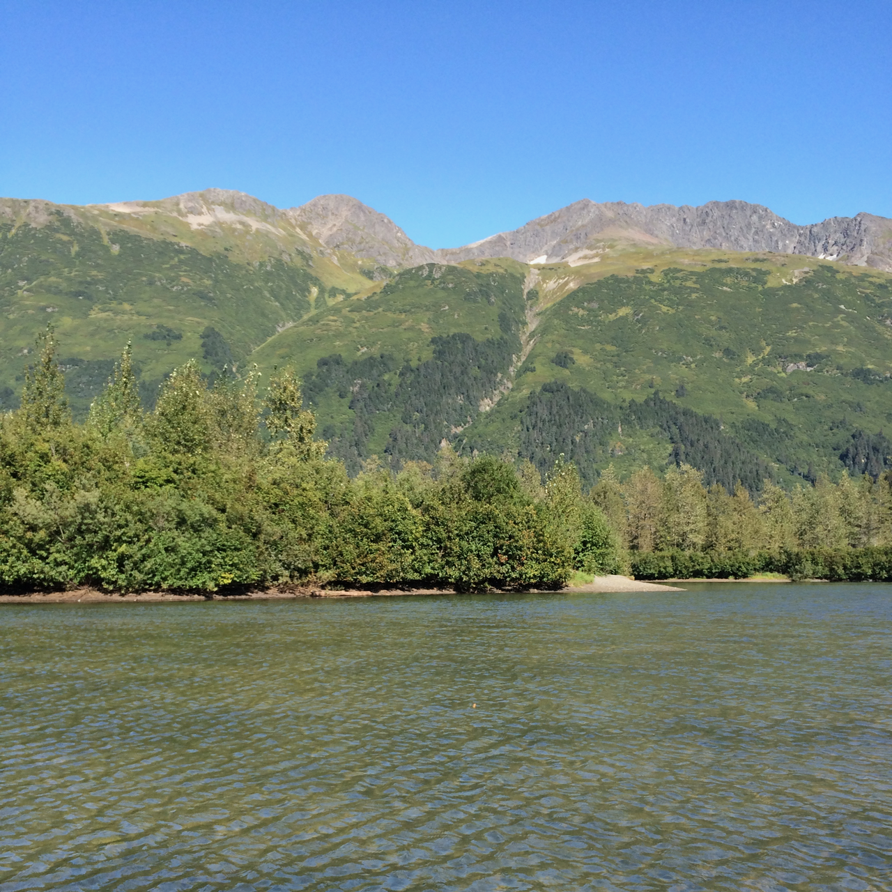
Of course, it isn’t as simple as it seems. Up close, tree lines aren’t abrupt. You can see in the photo that the trees are scattered as the elevation increases. Scientists struggle to agree on where the tree line starts. This ranges from no trees to including trees of specific diameters and heights. Some scientists don’t consider small trees trees.

Let’s Explore What Determines Tree or Timberlines
Sometimes it is not just the altitude or latitude that determines tree lines. As a result, timberlines in the United States vary considerably from east to west. Let’s look at two places at almost the same latitudes. First, the White Mountains in New Hampshire are at 44’. The Teton Range in Wyoming is at 43’. The tree lines are very different. In the Whites, the tree line is about 4500 feet. In the Tetons, the tree line is about 10000 feet. Conversely, the tree or timberline is fairly consistent between latitudes of 20-30. Some states do not have visible tree or timberlines. The mountains are too small. Green carpeted mountains in West Virginia show no timberline.


It is a complex interplay of numerous factors that are almost too difficult to isolate. Let’s see what they are.
First, physiological tissue damage due to low temperatures.
Second, physical damage due to extreme weather and or snowfall.
Third, decreased reproduction resulting from limited growing season and dispersing of seeds.
Fourth, limited photosynthesis due to shorter growing periods.
Fifth, the culmination is decreased new tissue development.
Final Thoughts: Was this article a waste of time?
Clearly, we don’t know exactly why tree lines are where they are. For me, the takeaway is this. Next time you go hiking in a new area, find out what the elevation of the tree line is. When you get to the tree line, you’ll approximately know your altitude.
References:
First, find basic information from National Geographic here.
Second, Northern Woodlands proposes a reasonably plausible theory here, however the next article refutes this to some extent.
Finally, the Knowledge Project describes why the study and determination of tree lines is so complicated. You can find that article here. Seems like this is the most scientific and accurate.